
GEOGRAPHICALLY INFORMED DATA
We use GIS data to inform all our electrification planning projects. We integrate it into our proven process, established with decades of collective team experience to produce successful and sustainable electrification plans.
USING DATA FROM THE GROUND
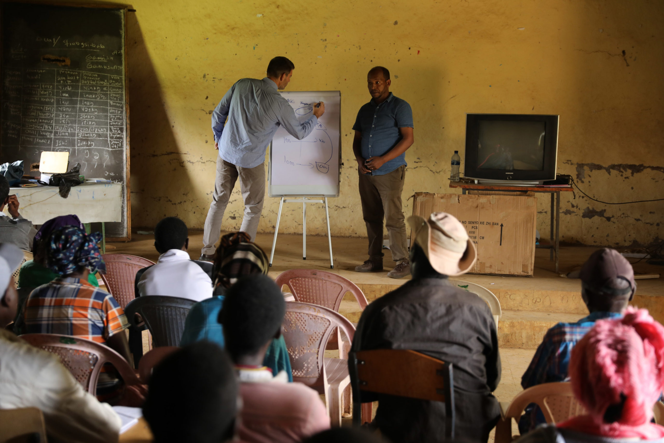
Experience has shown us that GIS data may not represent real-world situations, or offer answers and information needed to produce a well-informed plan. To validate and deepen our process, we deploy field surveyors who travel to specified locations and collect information and data that are otherwise not available via GIS sources.

WHAT SETS US APART

The team’s collective deep experience at all levels and phases of electrification programs. This informs how we analyze and develop the data needed to make recommendations for an electrification plan.
REAL-WORLD EXPERIENCE
We understand the complexities of engaging communities and implementing outreach campaigns to get their support. Our analysts and engineers have worked in communities and can provide insight on what works – not just in theory, but in practice. They form one cohesive team and share their real-world, on-the-ground experiences to each project. All this forms the foundation of knowing what data is necessary, useful, relevant, and applicable. Our team works as one unit to understand geo-political situations, technology needs, status on national infrastructure, economic strengths and weaknesses, cultural sensitivities, and how much money families are willing to and can afford to pay for electricity each month. This results in electrification solutions that make sense and can last for generations.
Our core services support all of our electrification planning work and the experience of our team has enabled us to help bring electricity to 220 million people in 54 countries.
AS A TEAM
Contact: nreca.international@nreca.coop