Behind the data: GIS and Electrification
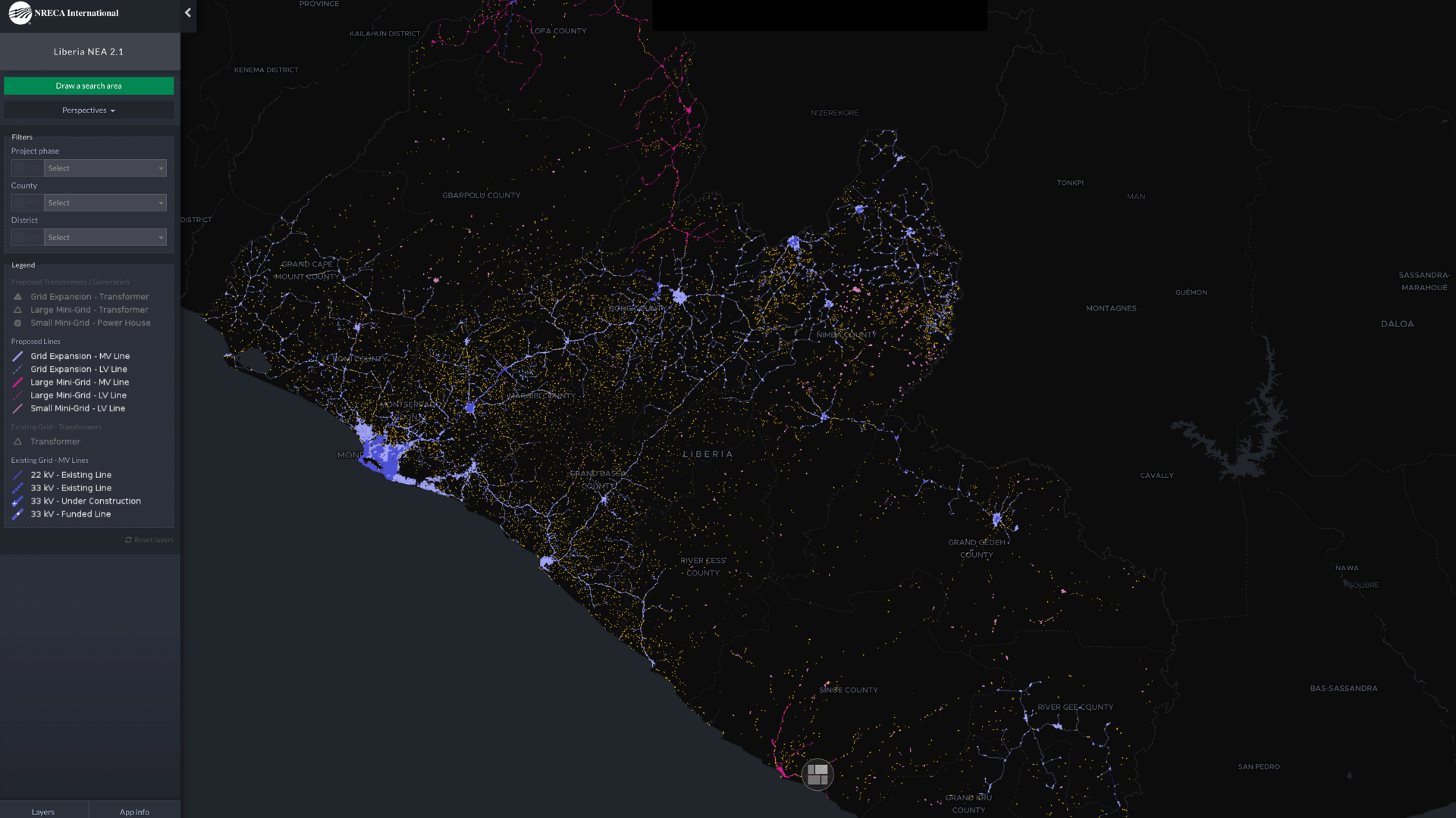
Our team’s collective deep experience at all phases of an electrification program guides how to analyze geospatial data and develop impactful electrification plans. Results are shared using state-of-the-art data visualization tools that transform the rich geospatial data and analysis into clear and actionable interactive maps and dashboards. The result: Our partners receive data-driven, visual models of electrification programs and projects.


The power of interactive maps

Here’s how we do it:
- Design the GIS platform structure and visualization tools.
- Collect data of digitized buildings, roads, and other public infrastructure. A team of enumerators will also travel to locations to digitize existing power lines.
- Geospatial data collected from all sources, and other relevant information are compiled for analysis and planning.
- Electrification expansion scenarios and investment plans for electrification are created.
- Results are shared using state-of-the-art data visualization tools that transforms the rich geospatial data and analysis into clear, accessible interactive maps.
The Future
The results will help all electrification stakeholders gain a clear understanding on how to increase access to electricity. This data and analysis will also benefit sectors impacted by electrification initiatives like healthcare, education, transportation and agriculture.
